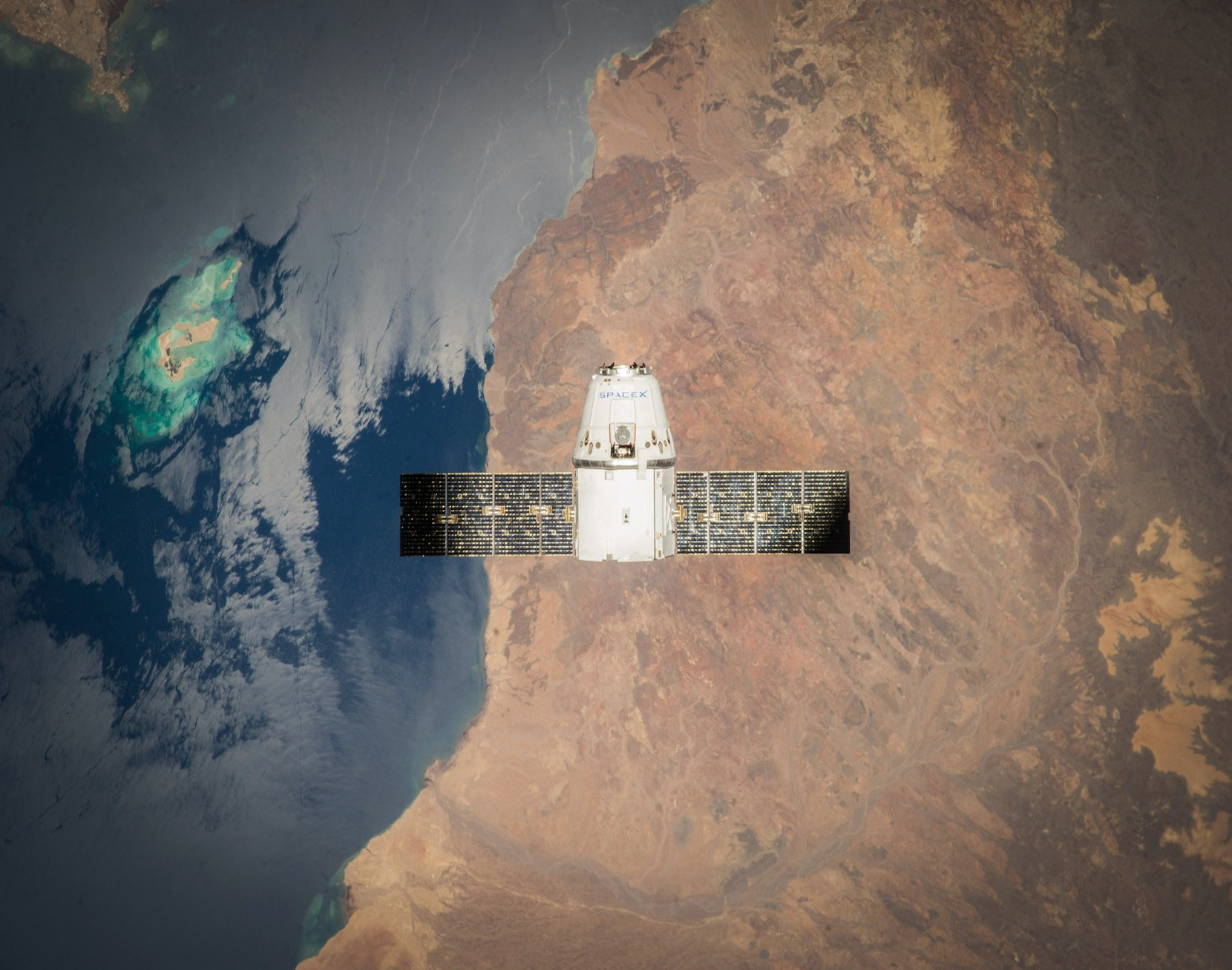
Monitor windmill farms using Satellite Images
Siemens Gamesa Renewable Energies hired us to build from scratch this innovative product to monitor windwill turbines civil works automatically.
This project was develop under the BIND40 program under the supervision of the Basque Government. Taniwa was selected with other 33 SME from an initial group of +500 companies.
Technologies:
- Image Processing
- Deep learning on Azure
- GIS
- React
- Kubernetes
- Cloud: Azure
The main challenge has been to retrieve and curate a large image database with all the different stages of the turbines building process. Again, the fit between a small and agile company and a corporate needs atention.
The GIS engine has been developed by the outstanding professionals of geomatico.
BIND40 is the Largest Industry 4.0 Open Innovation Catalyst. More info here
